River Level Data for Ross Ropewalk (New Steps)
|
River Level Data for Ross Ropewalk (New Steps) |
|
|
- |
- |
|||
Time of Latest Reading |
River Level |
|||
- |
- |
|||
- |
||||
|
-  |
|
|
Actual depth of water for boating at the RRC steps is approx. 0.1m greater than the figure from the EA station given above. Access road starts to flood, from Rudhall Brook, when indicated depth reaches 3.57m Links to UK Environment Agency official web pages: River level at Ross Ropewalk Approx. 2.5 miles (4km) on Rudhall Brook at Sandford Bridge. (Height = Ross + 19m) Approx. 20 miles (33km) up-stream at Mordiford. (Around 6h30m with the flow. Height = Ross + 13m) And 28 miles (44km) up-stream at Hereford Bridge. (Around 9h45m with the flow. Height = Ross + 19m) 57 miles (92km) up-stream at Hay-on-Wye. (20-22h) 20 miles (33km) down-stream at Monmouth. At the source near Plymlimon - Pant Mawr Monitoring Station. Flood Warnings - Ross - England. Flood Warnings - Monmouth - Wales. Met Office Weather Forecast - Ross-on-Wye. River level readings are taken every 15 minutes. However, the data is only released for public use once or twice per day. So figures given here may be several hours out of date. This information is provided as a guide only. Safety on the water depends upon actual river conditions, not numbers on a web page. |
|
RRC Live WebCam - Click to enlarge
|
|
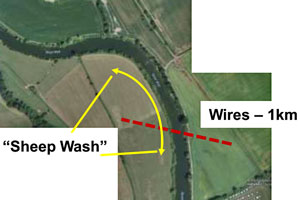 (Click on image for river map PDF) |
|
|
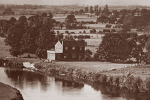
(Click on image for more old postcards) |
|
|
Page © 2025 This page uses Environment Agency river level data from the real-time data API (Beta) provided under the Open Government Licence. |
|
